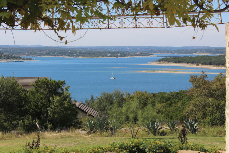
Under normal conditions, getting a boat into Lake Travis isn’t a problem. Back it down the ramp and get it afloat. The problem is when conditions are abnormal such as in a drought, when water levels are low, or during a flood, when they are too high.
Below are the minimum water levels for launching boats from LCRA ramps on Lake Travis. The Lake is often closed to recreational boaters during severe floods.
Lake Travis can greatly fluctuate during the year. So make sure you check the latest lake level data and the information below when planning a boat trip.
Public boat ramps on Lake Travis Minimum lake level indicates the lowest lake elevation (in feet above mean sea level) that the ramps are usable.
LAKE TRAVIS PUBLIC BOAT RAMPS
| Ramp Name | Min Lake Level* | Maintained By | Notes | |
|---|---|---|---|---|
| Arkansas Bend | 661 | Travis County | 512.854.7275 | |
| Bob Wentz Park at Windy Point |
653 | Travis County | Non-motorized only. | |
| Camp Creek Recreation Area |
667 | LCRA | 512.473.3366 | |
| Cypress Creek | 666 | Travis County | ||
| Gloster Bend Recreation Area |
662 | LCRA | ||
| Jones Brothers Park | 645 | City of Jonestown | 512.267.3243 | |
| Mansfield Dam | 632 | Travis County | 512.854.3375 | |
| Narrows Recreation Area | 658 | LCRA | ||
| Pace Bend – Collier Cove |
653 | Travis County | ||
| Pace Bend – Tatum Cove |
653 | Travis County | ||
| Sandy Creek | 648 | Travis County |


